Navionics charts course with customers in 2014
by Jeni Bone on 18 Feb 2014
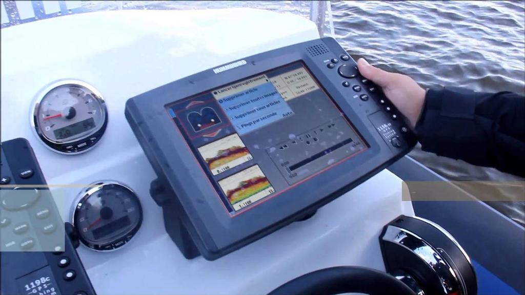
Navionics SonarCharts Navionics
http://www.navionics.com/
Marking its 30th anniversary in 2014, Navionics hosted a press conference last week in Miami, at which Navionics founder Giuseppe Carnevali shared the company's outlook on the new generation of charts made by boaters, for boaters.
Carnevali said he was proud of the Navionics offering of 'more of the detail and information such as real-time updates and social networking that allows people to enjoy boating beyond navigation and beyond the boat itself.'
During the event, Navionics revealed details of new projects with longstanding OEM partners, Raymarine and Navico. The upcoming release of LightHouse II software by Raymarine and enhanced Navionics Plotter Sync will deliver new connectivity options. Users of compatible Raymarine WiFi-enabled multifunction devices will have the ability to both update their charts and share sonar logs with Navionics servers effortlessly using their Navionics mobile app.
With the anticipated release of Plotter Sync, users of Lowrance, Simrad and B&G plotters will be able to share routes, tracks and waypoints among their mobile device and plotter. And, for the first time, Navionics charts will be available for download from the Navico Insight store.
Another major focus is a growing reliance on the input by boaties, by way of Community Edits made by users of Navionics mobile apps, and sonar logs contributed to SonarCharts™.
Navionics mobile apps, available for iPhone, iPad and Android devices, deliver the same great detail boaters enjoy on their GPS chartplotter. Earlier this year, Navionics released its newest app, Navionics Boating, a downloadable for free, with global coverage areas available for purchase within the app.
In Australia, where Navionics is celebrating its 10 year anniversary, general manager, Garry Linacre said this year would be significant for the development of sonar charts as well as modifications to the plug and play charts.
'We have made the areas bigger, for example to cover Australia, New Zealand and the Pacific Islands and we are continuing development of our SonarCharts – a highly detailed bathymetric map layer for assessing seafloor contours and detail.'
The company’s 10 years in Australia have been eventful, says Linacre. 'We have forged strong relationships with the three major brands: Navico, Raymarine and Humminbird through BLA.'
The development of new charts will evolve as Navionics receives new data, explains Linacre. 'Our sonar charts are created by data we can capture from customers. In the US, their inland waterways are bigger than saltwater, the opposite of here. But we have a growing market, fishing in the lakes and dams.
'There are no government surveys of these waterways, and we hope to be the first. We are aiming to get hold of data, via people who are interested in collecting data in their regions. This information is then fed into our online services to position banks of lakes and waterways, which we then make available on our regular charts.'
The company is exploring other ways of doing it too, such as black box technology. 'We have plans to get in touch with kayaking clubs, and then fit five or six with transducers on their kayaks, so they can send data to our servers. That then comes back as part of a chart.'
As Linacre explains: 'Kayaking has become quite a market for chart plotters, with kayakers using them to locate their favourite fishing spots.'
This year, Navionics will be exhibiting at Sanctuary Cove International Boat Show and Sydney. 'These are our main shows, which are a good opportunity to interact with people in the trade, customers and end users. We do attend other shows to support plotter manufacturers, such as Melbourne in June, Brisbane and Mandurah.'
www.navionics.com.au
If you want to link to this article then please use this URL: www.sail-world.com/119362