
Global Solo Challenge: Weather routing - how to optimise your route based on weather predictions
by Global Solo Challenge 23 Aug 2021 02:54 PDT
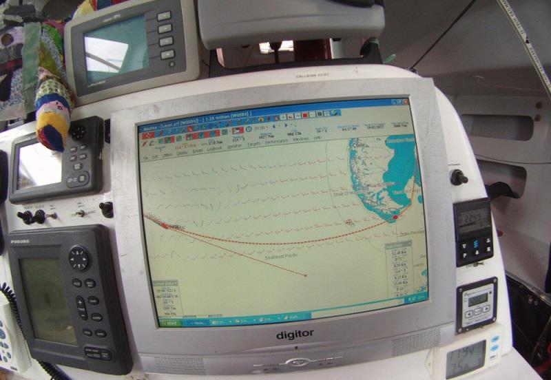
Route to Cape Horn © Global Solo Challenge
One recurring question among the novice offshore sailor is how to optimise your route when sailing. The practice is known among sailors with the French name of Routage or the English name of Weather routing.
We do not want to write an article that is too technical here because it partly depends on the navigation software you use. However, we will try to understand the fundamentals so that you can find your route with any system.
The software to optimise the route
To optimize the route you will inevitably need dedicated software. This is why this is usually a topic for long distance racers. Mobile apps have also appeared recently so you can try them out to see if you are comfortable with them. The best known navigation software among professional sailors are the following:
Optimising the route: understanding the problem to be solved
Let's try to get to understand how "Weather Routing" or "Routage" is done step by step. First of all, let's ask ourselves what is the problem we need to solve to optimise the route. We have to go from point A to point B in the shortest time possible. The variables are the intensity and direction of the wind and obviously our boat. Initially we can see it as an instantaneous problem. That is, in relation to the weather conditions we are observing at that precise moment.
However, unless you have to go to a rounding mark, the problem is not instantaneous. On a long course the boat performance details is the only variable that remains constant (save for damage to sails etc), but the variables wind direction and intensity change over time. For this reason we have to divide our potential route into many steps. Starting from point A we will be able to navigate in a number of directions that fan out in front of us. All the points that I could reach with my boat in a defined period of time is defined an isochrone. For simplicity we say that the first isochrone defines all the points that I can reach after an hour of sailing.
At that point, the software, starting from a series of points on the isochrone, repeats the exercise from each point. From each point a range of new possible routes will open up. The maximum distance boundary given by the sum of the navigation in the first and second hour defines the second isochrone. Proceeding by successive steps, the navigation software will arrive at its destination. Working backwards through the series of segments that defined the fastest route we have the outline of the optimal route. It is an empirical solution to the problem, because trying a mathematical solution would be impossible.
Continue reading the full article here...