Telstra launches new online marine maps for Next G™
by Sail-World Cruising on 21 May 2010
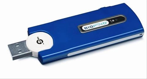
Next G USB stick SW
Seafaring Telstra Next G™ customers planning offshore trips can now check the mobile network’s coverage out to sea with the launch of new online maps.
The network claims that Next G™ network coverage can typically extend 20 to 70 kilometres out to sea from mobile base stations located near the coast.
In addition to phone calls, the Next G™ network’s high speed mobile broadband data capability means boating enthusiasts and professionals can quickly access a wide range of important marine services such as weather reports, tide information, high resolution maps, fish prices, shipping information, access to email and more.
The new maritime coverage maps include popular boating areas such as the Great Barrier Reef, the Sydney to Melbourne coast and the Whitsundays.
Michael Rocca, Chief Operations Officer, said the Next G™ network’s offshore reach is equally as impressive as its onshore coverage.
'Boating is a popular Australian past time and with our new offshore coverage maps there’s no reason to leave the phone at home and miss out on access to calls and data services,' Mr Rocca said.
As with land-based coverage, a variety of factors influence network coverage and performance at sea such as the tides, swell and other weather conditions.
To facilitate the best mobile performance at sea, Telstra recommends customers use a directly-connected external antenna – one that is omnidirectional or a specialist marine antenna capable of ‘tracking’ to the best serving base station – mounted as high as possible on the vessel.
The nature of the on-vessel installation including the height of the antenna equipment above sea level can significantly influence and vary the actual customer experience of coverage and associated voice and data speed performance when at sea.
While taking advantage of Next G™ coverage offshore brings convenience and access to a wide range of services, boat owners should continue to equip their vessels with appropriate emergency communications equipment and not rely upon public mobile phone networks for this purpose.
Sail-World would be very interested in feedback from sailors who test the maps when they go offshore.
................................
Letter from Reader:
Sender: John Hall
Message: I have been using Telstra Mobile Broadband since 2004, originally with the CDMA network which was very good offshore. I regularly sail between Southport and Hamilton Island. After the CDMA network was shut down, I went to 2G and it was, to say the least, poor. With the CDMA we had reception most of the way and up to 20 NM off the coast, with no external aerial, but sometimes had to take the laptop out into the cockpit or on to the cabin top to gain extra aerial strength.
I updated to the 3G dongle about 12 months ago, and it is excellent, with service all of the way, and up to 40 NM offshore. This is without an external aerial. We have actually found that if we take the laptop inside the boat, but put it and the dongle it near the tie bar (which is stainless, and carries the load from the chain plates to the keel, or we take it out near the backstay, also stainless, the strength increases dramatically, both for the wireless broadband, and 3G phones.
We use an iPhone, and in fact rely on that as our primary email and internet when cruising now. We also have a navigation program and Fugawi charts on the iPhone, and it is absolutely brilliant, with better charts at times than the plotter downstairs.
When I think that we used to go from Melbourne to Devonport in the late 70's on Dead Reckoning, and in later years with the aid of a Radio Direction Finder, I wonder how 'modern' navigators would cope without all the technology we have to hand today! 3G is very good, the only complaint being the speed, which could be improved!
John Hall - Whisper Four, Dufour 44.
................................
If you want to link to this article then please use this URL: www.sail-world.com/69773