
OCC Fleet Map now shows vessel position via satellite feed
by Simon Currin 16 Aug 2018 10:23 PDT
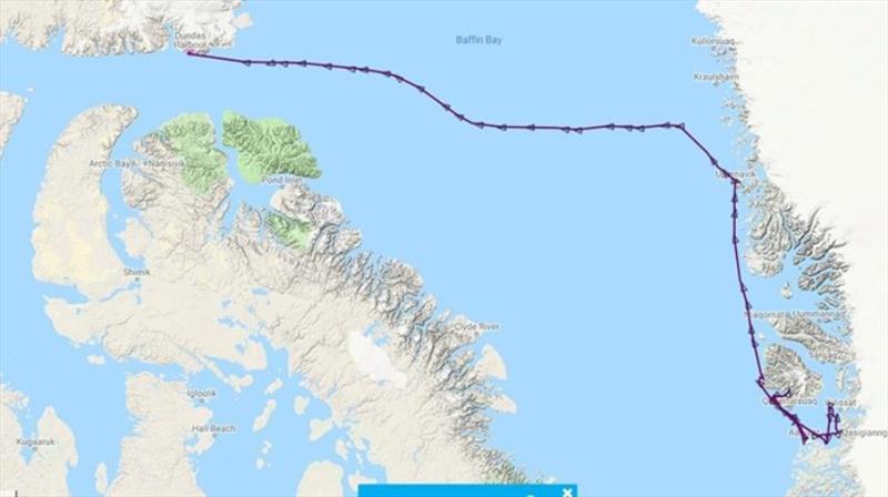
OCC Fleet Map now shows vessel position via satellite feed © Ocean Cruising Club
There has been an exciting new development on the OCC Fleet Map. We are trying out satellite feeds over next month so now we can track our member's boats when they are out of range of an AIS land station (without the need for the skipper to email in their position).
If you go to the OCC Fleet Map today you will see S/V Destiny in Dundas Bay on her way to the still frozen North West Passage.
Other satellite feeds that are showing up this morning are S/V Exit Strategy and S/V Anthem in the Indian Ocean. S/V Irene in the North Atlantic.
Please note the satellite position will be 12 hour old and coverage is not 100% reliable as most OCC members transmit AIS Class "B" which is a weaker signal than AIS Class "A".