
Using OPEN CPN Charting for Offshore Cruisers
by Bluewater Cruising Association 3 Apr 2018 23:36 PDT
18 April 2018
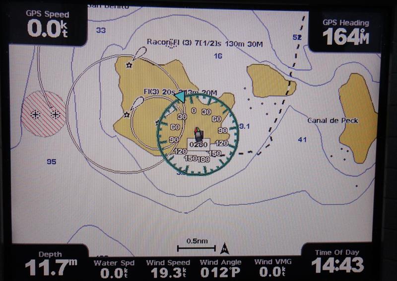
OPEN CPN Chart © Bluewater Cruising Association
As we sail further and further from civilization, the nautical charts we have might be less and less accurate or out of date. Luckily, there are satellites constantly taking images of the earth's surface and we have access to some of them. Using OpenCPN (free "chart plotter" software for Mac or PC), we can view these satellite images as though they are charts. One of our members, Malcolm MacPhail from Good as Gold, will show you how!
Here are some of the topics Malcolm will cover:
- OpenCPN – Basics
- OpenCPN – Managing charts
- ChartAid – Basics
- ChartAid – Downloading a satellite image as a chart
- OpenCPN – Viewing the "satellite" chart
You are welcome to bring your laptop and follow along, or just take notes. If you plan to bring your laptop, please download and install both
OpenCPN and
ChartAid.
More information and to register visit here..
This article has been provided by the courtesy of Bluewater Cruising Association.