
Google to map South Florida waterways in partnership with marine industry
by Brian Bandell 22 Mar 2018 19:53 AEDT
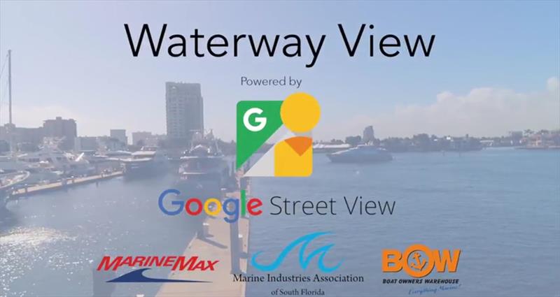
MIASF Google Waterway View © Marine Industries Association of South Florida
Tech giant Google (Nasdaq: GOOG) is partnering with the Marine Industries Association of South Florida to create a water version of its popular Google Street View maps that would cover the region’s major waterways.
Not only will this create a detailed visual map covering 143 nautical miles along the Intracoastal Waterway and Biscayne Bay from the Palm Beach County line in Jupiter through Ocean Reef in Key Largo, it will provide the opportunity for nearby businesses to reach customers on their boats.
To read more please go to the original article.