
Cyclone Gita to hit Tonga today and New Zealand next weekend
by Richard Gladwell, Sail-World.com/nz 11 Feb 2018 15:25 PST
12 February 2018
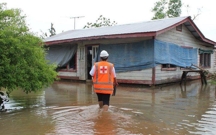
Flooding in Samoa after being hit by Cyclone Gita, yesterday © Radio NZ
The certainty of Cyclone Gita hitting New Zealand appear to be more likely - with a landing predicted for late this weekend.
The four weather feeds manipulated that are used to generate Predictwind.com's forecasts and wind models show Cyclone Gita landing in New Zealand around Cook Strait.
Currently Gita is ranked as a Category 4 Severe Cyclone and is set to make a landfall on Tonga and the capital Nuku'alofa on the main island Tongatapu sometime tonight and early tomorrow morning.
The storm is said by weather news site, Weatherwatch, to be "more powerful than anything New Zealand has ever seen with torrential rain and damaging winds forecast to be averaging close to 200km/h and gusting over 230km/h by tonight when it makes landfall there."
"Maximum wave heights could be in excess of over 10 metres with storm surge at the centre of the cyclone lifting the sea up even further leading to coastal inundation and sending those waves even further inland. These incredibly dangerous seas could last 24 hours around the southern islands of Tonga."
Radio New Zealand reports that a state of emergency has been declared in Tonga with winds of 200kmh (107kts) and expected to intensify.
From Tonga, Cyclone Gita is forecast to broaden in its centre and to travel westward across the Pacific almost to New Caledonia and Norfolk Island before changing track and heading south down the central Tasman Sea.
The models vary as to whether the cycle will retain its intensity or if it will dissipate and lose intensity but still be an area of strong wind. A key to this prognosis is whether the higher than normal water temperatures in the Tasman Sea have an impact on Gita's strength and trajectory.
After Tonga there is little land in the way of Gita until Norfolk Island and New Caledonia and there is no accurate way of measuring storm intensity other than boats in the storm path.
Two of the models in Predictwind.com show Gita passing close by Norfolk Island on Friday night/Saturday morning and still with plenty of power - 50-60kt winds average strength and gusts of over 70kts with 6-7metre average swell height with actual heights that cold be another 30% on top of that level. Long term detailed forecast wind, gust and wave heights are not showing anything above normal range for Wellington at this stage.
The good news for the Volvo Ocean Race is that on the long range forecasts there are no additional storms forming around the SW Pacific towards the end of next week which could give the fleet a hurry-up as they head for Auckland in the latter stages of Leg 6.
According to Weatherwatch the last Category 5 cyclone in the South Pacific to make landfall was Cyclone Winston in 2016 which hit Fiji.