Jeppesen Marine's C-MAP to support Furuno systems
by Bob Wonders on 10 Sep 2010

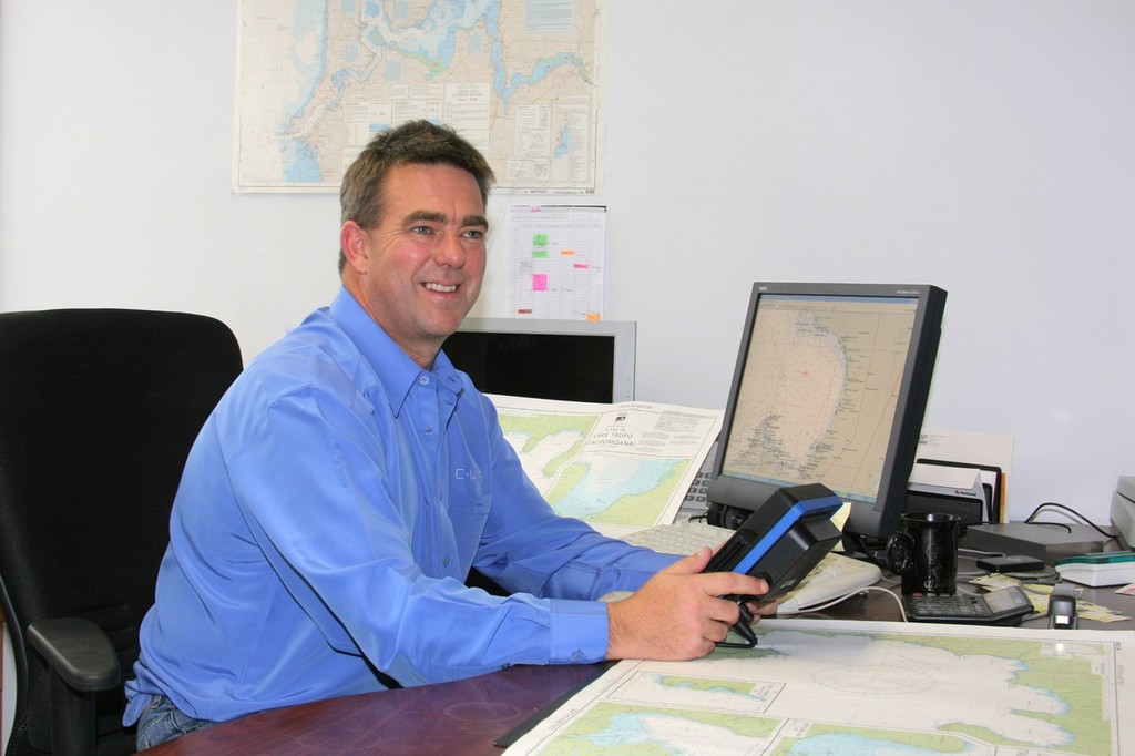
Wayne Hunter, managing director of Jeppesen Marine Australia. - Jeppesen Marine's C-MAP to support Furuno systems Bob Wonders
Worldwide navigation expert Jeppesen Marine has announced expanded availability of MM3D C-MAP charts for the advanced Furuno NavNet 3D navigation system.
Wayne Hunter, managing director of Jeppesen Marine Australia, said the charts would now provide coverage for much of the world's waterways. 'This means that mariners across the globe can now experience the powerful combination of Furuno NavNet 3D running detailed, accurate and feature-packed C-MAP cartography, combined with MapMedia technology,' he explained.
The release of the new charts follows on from the recent and well received launch of MM3D C-MAP charts for North American, Central American and Caribbean waters. Mr Hunter said new Furuno NavNet 3D systems are ready to run MM3D C-MAP charts ‘right out of the box.'
'All that is required is the purchase and loading of the customer's preferred chart coverage, which will be available through all Furuno dealers or by contacting Jeppesen,' he added.
Thousands of existing Furuno NavNet 3D owners worldwide can also experience the detail and accuracy offered by MM3D C-MAP charts by simply making their existing NavNet 3D systems C-MAP compatible with a free 2.05 software upgrade through authorised Furuno dealers.
Mr Hunter said that European navigators will be fully covered wherever they travel with 11 choices of Wide chart regions, including the Baltic Sea, North Sea, Finland Lakes, the English Channel, European coastlines, the Mediterranean, Greenland and Iceland, the Black, Aegean and Caspian seas and the Volga River.
'European boaters will also have the option of four expansive Mega Wide charts comprising the North Baltic Sea, Atlantic European Coasts, West European Coasts and the Mediterranean and Black Seas,' he added. In the Oceania region, NavNet 3D users can choose from one Mega Wide chart (AUM007) covering the entire region or two Wide coverage charts, Australia (AUM005) and New Zealand (AUM222).
The first cartography released for Asian waters in C-MAP's MM3D chart, INM203 providing coverage from the Gulf of Martaban (Burma) to Jakarta (Indonesia). Jeppesen Marine and MapMedia are working to add other boating areas in Asia and the rest of the world, in order to provide complete global coverage.
Boaters and navigators are encouraged to regularly check the MapMedia website (www.mapmedia.com) for updates.
Whether a NavNet 3D system was recently or newly purchased, boaters using MM3D C-MAP charts will gain the benefit of richly detailed and accurate cartography whenever and where ever they navigate.
The MM3D C-MAP charts can easily be viewed in traditional 2D or life-like 3D presentation using Furuno's patented TimeZero technology for a realistic and seamless navigation experience.
As the two companies, Jeppesen Marine and MapMedia, continue to add chart coverage, registered end-users will be notified and receive a one-time product improvement update when new data is released.
In the United States, Jeppesen Marine's Light Marine Division Director James Detar, said boaters had long recognised Furuno's NavNet 3D system as 'a revolutionary navigation tool', but one that has been unavailable until now to thousands of loyal C-MAP users.
'Consequently we are proud to again offer this powerful combination to boaters worldwide, so enhance their navigational safety and boating enjoyment,' he added.
For detailed information on C-MAP charts or to purchase charts on line, simply visit the website, www.jeppesen.com/lightmarine.
Australian customers can also contact Jeppesen Marine direct, telephone (02) 9808-6200.
If you want to link to this article then please use this URL: www.sail-world.com/74478