Electronic Charts - great but dangerous to rely on
by Sail-World Cruising on 30 Aug 2010
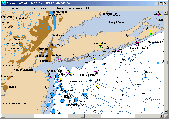
..even if the chart is accurate there may be a GPS reading discrepancy SW
The introduction of electronic charting has been a boon to all leisure sailors, but caution needs to be exercised. The Australian Hydrographic Service (AHS) says that mariners may be putting their lives at risk by relying on electronic navigation charts that are not up-to-date.
The AHS’s director of charting services, Mike Prince has said that an outdated chart could have been the cause of the yachting tragedy last year that claimed the lives of two experienced sailors.
Veteran skipper Andrew Short, 48, and navigator Sally Gordon, 47, both of Sydney died after they were swept from the deck of PWC Shockwave after the yacht struck Flinders Islet off the New South Wales South Coast in October last year.
The 26-metre multimillion-dollar yacht broke up after the crash, which occurred about 3am as it was about to make the return journey in a 169-kilometre race from Sydney.
'A CYC (Cruising Yacht Club) report said they were using an electronic chart at the time of the crash and there is speculation that there could have been a problem with it,' Mr Prince said.
A yacht race inquiry in January heard some of the boat’s crew before the tragic race had observed errors on the chart plotter in Sydney Harbour and at Hamilton Island in Queensland.
Mr Prince estimated that one million Australian boaties used unofficial electronic charts. ‘‘Sailors should use the charts to support navigation, not totally rely on them,’’ he said.
In another case, Timothy O'Neill, 39, died after his motorboat doing 25 knots crashed into a seawall at the mouth of the Brisbane River in 2007. The boat’s electronic charts had not been updated to show the seawall had been built on reclaimed land.
In 2008, a $1.7m yacht Asolare hit a reef 200 nautical miles east of Cairns and two crew members who had been clinging to the boat’s hull were winched to safety by rescue helicopter.
'The skipper said the reef wasn’t on his electronic chart but it was on the paper chart so he obviously hadn’t updated it,' he said.
The AHS publishes fortnightly updates new and altered information that could affect safety at sea on the Notice to Mariners. It is up to mariners to apply the updates to their charts.
'If people don’t update them they could be ignorant of hazards or dangers that could affect their safety,' he said.
Makers of commercial electronic charts are not legally required to regularly update their charts because they are marked 'not for navigation' or 'aid to navigation only'.
Electronic chart company CMap was contacted by Sail-World on 23rd August for a contribution to this story, but has not replied.
Editor's Note:
Another of the problems of an electronic chart is that, using GPS technology, it places the boat in a visual position in relation to the chart, which a paper chart naturally never does.
Even if the electronic chart has been updated, a discrepancy between the GPS position on the electronic chart and he yacht's GPS position can make it appear that the boat is somewhere that it isn't when taken in relation to any obstruction.
The problem comes, not so much from the accurate or inaccurate chart, but from the navigator's reliance on the RELATION of the yacht's position to the obstructions on the chart.
One either needs to allow a discrepancy factor - up to two nautical miles depending which part of the world you are sailing in - or, there is no substitute for eyeballing.
If you want to link to this article then please use this URL: www.sail-world.com/74061