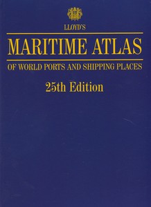
Lloyd's Maritime Atlas - 25th Edition
by Sail-World Cruising on 16 Mar 2010

Lloyd’s Maritime Atlas - 25th Edition SW
Cruising Guides do a magnificent job for the cruising sailor, but how can you get adequate and up-to-date information on the world's busy commercial ports. If you are to carry an atlas on your boat, why not carry one which gives you the kind of information you can use?
Lloyd's Maritime Atlas, published since 1951, is the oldest and most respected atlas in the shipping industry. The brand new 25th edition has been completely updated and now includes 225 new ports and places.
Featuring all new name and port changes, this user-friendly atlas contains precise co-ordinates of over 8,000 ports and shipping places from around the world.
When you order one of these atlases, you get:
70 full colour world, ocean and regional maps.
Distance tables, major canal and river systems, weather hazards at sea and international load line zones.
All major road, rail and airport links serving the ports.
Detailed coastline, geographical and alphabetical indexes.
A free CD-ROM.
A larger and more detailed map of Australasia.
225 new ports and places, including 89 new Chinese ports.
Global Maritime Statistics – up-to-date charts and data prepared by Lloyd's MIU analysts and consultants.
You won't need to waste time struggling to locate the world’s shipping places or searching for exact port co-ordinates ever again - specially vital if you are not sailing in areas where cruising guides exist - order your copy of this must-have atlas today, or keep it in mind for a present for that sailor-who-has-everything.
How to order: Buy your copy online now from Amazon, or email marketing@lloydslist.com
If you want to link to this article then please use this URL: www.sail-world.com/67457