Lowrance StructureScan or Where would you be if you were a fish?
by Rob Kothe on 14 Mar 2010
Where would you be if you were a fish? Powerboat-World.com
http://www.powerboat-world.com
When I was just a small tacker our whole family would spend at least three months of each summer at Bermagui on the NSW South Coast.
My father would commute back to Bega and I and my sister would go to Bermagui Public School either side of the school holidays.
Even on schooldays, by 4pm each day I would be in the shallows catching bait mullet with bread and an oyster bottle (a glass jar around 250mm long, about 50mm wide - the fish could not turn and escape)
Looking back I recall my grandfather's mission was to make me think like a fish.
Whether it was on Wallagoot Lake on the shores of the Bermagui River or on the rocks near the Blue Pool, as I was set to cast my rod he would say ‘Where would you be if you were a fish?’
The answer he expected and the one I learned to cast to was ... ‘near a struck-ture, Pop’, not a bad response for a little freckle faced kid who had only just learnt to tie his shoe laces and who certainly could not spell structure. It seemed to be simple but I could only guess where those struck-tures were in they were underwater. Still we caught a lot of fish.
Fast forward more years than I care to admit and finding that 'structure' now days is much easier than it was …
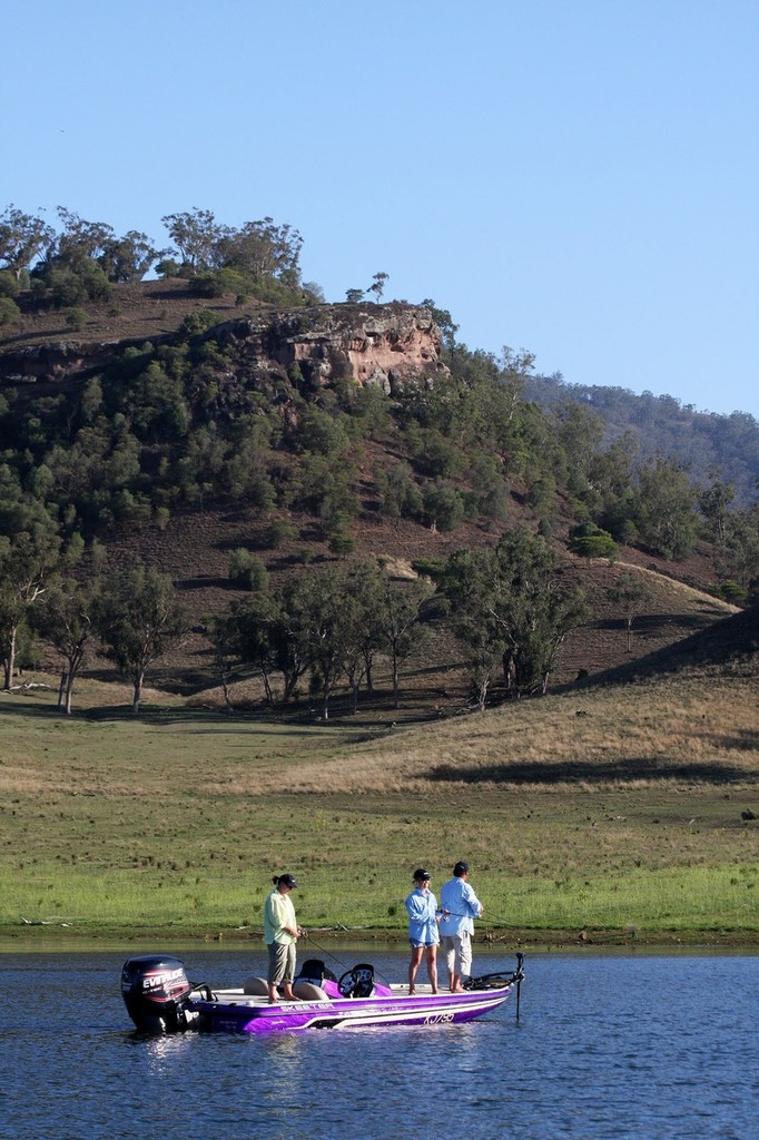
Just before Christmas I spent a couple of pleasant days on Lake Glenbawn, the upper Hunter Valley NSW impoundment that is ‘Bass Heaven’ for many Australian fishers. Glenbawn, built in the mid 50’s, has been stocked over the years with many species.
These include Australian bass, golden perch, silver perch and Murray cod. As the 100 metre high dam wall was completed the Hunter River continued to flow, building a big lake with twice the volume of Sydney Harbour and lots and lots of structures; trees, fence lines etc.
So on a couple of hot summer day in 2009 we were on the water with some of Australia’s top Bass fishermen, enjoying the fishing and checking out the new Lowrance Structure Scan.
Whereas I’d spent years trying to imagine where fish might be as learnt from my grandfather and father, now I could see the structures and at least some of the fish.
Lowrance StructureScan sonar imaging takes fish and structure-finding to a new level. It provides panoramic underwater sonar imaging. It scans to each side of the boat for up to 80 metres and scans straight down from your boat up to 100 metres! The 'whole' picture certainly removes a lot of the guesswork.
We could see trees, fencelines, grass beds, we even found a long submerged community church, but it seemed very few of the fish were religious.
We found the waving fronds of the grass beds that provide protection for bass and these grass beds, clearly visible on the Structurescan, provided a better yield than the standing and submerged trees up the valleys.
The LSS-1 StructureScan sonar imaging is based on parent companies Navico’s known and reliable sonar technology, yet it also features additional new technology with the Downscan ability.
The Lowrance StructureScan system uses a single multifunction transducer to provide automated side and down scanning capability as an add on module for the HDS-series Lowrance Multifunction fishfinder/chartplotter multifunction displays.
Up to half a kilowatt of power can be beamed out by the transducer using two frequencies.
When using the lower 455 kHz output, the system provides clear sharp side scanned images at least 80 metres each side of the boat and down 90-100 metres.
Switching to the higher 800 kHz output further increases image definition while reducing the range.
The Lowrance StructureScan system is easy to operate and use. You can configure it to display as a full screen or in a second window with chart plotter etc.
You can choose from eight colour sets and select display options such as definition, noise rejection, reverse the left/right images, (you need to keep your head on straight) and turn on range references lines.
The onscreen images of the bottom structures look almost three-dimensional, particularly those images of submerged trees and grass beds. Individual fish and schools of fish show up clearly onscreen.
You can play back a sonar recording pass over an area, rather than travelling back over the same area; particularly useful where you have to pay full attention to steering around trees etc. You can scroll back in sonar history to find locations and set waypoints.
I have to say I was very impressed with the image display and simplicity of operation.
The guys from Navico-Lowrance said with a big smile and a well rehearsed line ‘We don’t think it’s cheating, but the fish seem to disagree…’
With the StructureScan you no longer have to guess ‘Where would you be if you were a fish?
You can see!!
If you want to link to this article then please use this URL: www.sail-world.com/67399