New navigation aids lift Abrolhos Islands safety
by Alannah MacTiernan on 23 Nov 2007
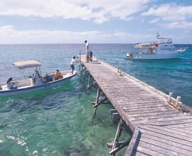
Abrolhos Islands. http://www.westernaustralia.com SW
A major upgrade of navigation aids around the Houtman Abrolhos will help a growing number of commercial and recreational skippers in the area.
Planning and Infrastructure Minister Alannah MacTiernan said a $1.3million WA State Government project put close to 50 navigation aids at key locations throughout the area over the past six years.
The Department for Planning and Infrastructure had recently installed 13 new navigation aids for the islands known as the Pelsaert Group, adding to 34 previously put in place at the Easter and Wallabi groups.
Ms MacTiernan said the new navigation aids were part of a comprehensive approach to improving navigational safety around the Abrohlos islands.
'Even for experienced skippers, these waters can be treacherous because of the wind conditions, swell, reefs and shallows in the region,' she said.
'To complement the navigation aid project, DPI is planning a detailed nautical chart for the Pelsaert Group to supplement those already available for the Wallabi and Easter groups.'
Geraldton MLA Shane Hill said about 400 fishing vessels and charter boats operate out of the Mid-West region, with many focussing their activities near the Houtman Abrolhos.
'Increasing water safety in the area, also helps protect the environment by limiting the number of vessel groundings and other possible marine incidents that could result in spillages and other damage,' Mr Hill said.
More information about navigation aids or nautical charts is available at http://www.dpi.wa.gov.au/imarine or from the Western Australia Department of Planning and Infrastructure on (08)9216 8999.
If you want to link to this article then please use this URL: www.sail-world.com/39306
-x-500(h)-(3)-202506031057.png)
-202504070859.gif)