Navico's GoFree announces personal and social mapping utility upgrade
by Laura Tolmay on 28 Jan 2015
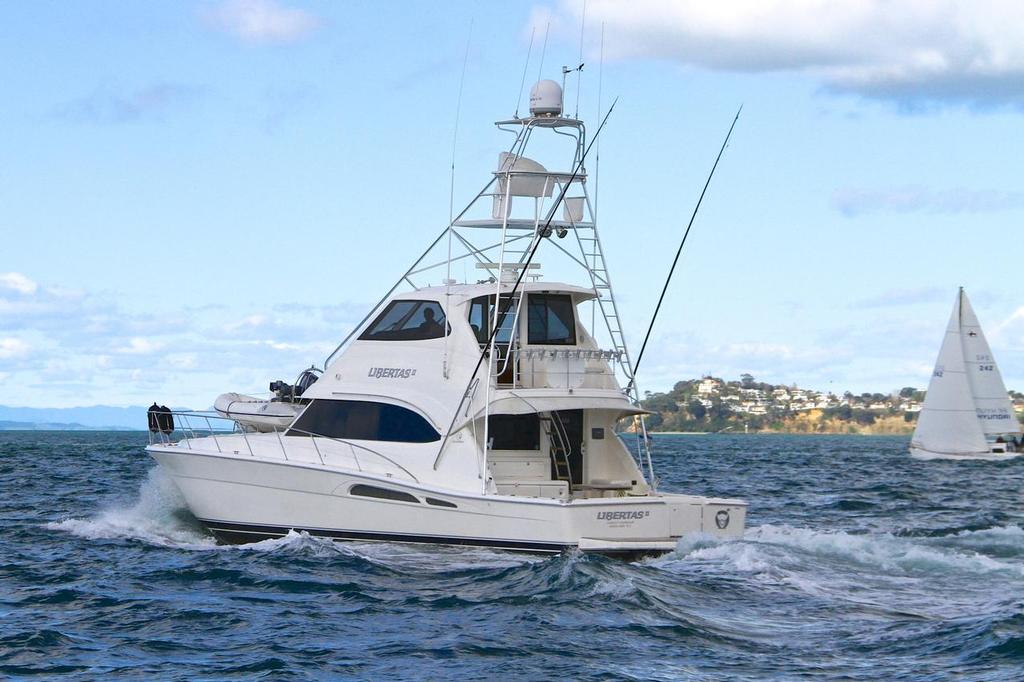
Power or sail - Navico's GoFree keeps you connected anywhere you are on the water Richard Gladwell
www.photosport.co.nz
GoFree – the provider of digital content and services and part of the Navico family of marine electronics brands including Lowrance, Simrad Yachting and B&G – announced today a significant upgrade to the award-winning Insight Genesis™ personal and social mapping utility.
A service exclusive to the Navico family of brands, Insight Genesis is an easy-to-use, cloud-based tool that allows boaters to open a free account, upload sonar logs recorded on a multifunction display, and download up-to-date, personalized contour maps. An industry-first, Insight Genesis now supports the use of sonar recordings in High Chirp mode, in addition to the existing support for 200 kHz sounder logs – eliminating the need to switch sonar recording formats to generate custom maps.
Users can also enhance community charting by sharing collected data publicly to the Insight Genesis Social Map, as well as search community contributed contour data from users around the globe, then download Social Map charts for personal use.
A choice of powerful free and premium features are available for boaters to create contour maps created for use on Lowrance Elite, HDS Gen2 Touch and Gen3, Simrad NSS evo2, NSO evo2 and B&G Zeus2 multifunction displays.
Additionally, Insight Genesis now includes support for displaying metric units of measurement on the multifunction display and the ability to toggle between metric and imperial formats.
|
FEATURE
|
FREE
|
PREMIUM
|
|
View and contribute to online Social Map community of inland and coastal waters across the globe with the Insight Genesis Social Map
|
YES
|
YES
|
|
Upload, view and save your trip history
· Unlimited sonar log uploads
· See your boat trail overlaid on a satellite image with your custom map
· Automatic weather data from each trip to display potential trends
· Review sonar history (traditional and DownScan Imaging™)
|
YES
|
YES
|
|
Create and download waypoints for use on your chartplotter display
|
YES
|
YES
|
|
Blue shaded maps with 1-foot contours from your Contour Maps - Personal and Social Maps for Lowrance HDS and Simrad NSS and NSO evo2 units
|
YES - (New)
|
YES - (New)
|
|
Download community-submitted Social Maps for use on Lowrance/Simrad NS/B&G multifunction displays
|
YES - (New)
|
YES
|
|
Create, view and save unlimited custom contour maps made from sonar recordings:
· Select high-resolution contour lines (10, 5, 3, & 1-foot) and depth soundings
· Identify depth transitions with gradually shaded color changes
· Adjust depths automatically in tidal waters or with manual offsets
· Create notes, tags and waypoints in your custom map
|
YES - (New)
|
YES
|
|
Merge and load custom maps – including both private custom maps with waypoints, and the Insight Genesis Social Map – onto Lowrance/Simrad NS/B&G multifunction displays
|
YES - (New)
Merge Up To 12 Trips Per Body Of Water
|
YES - Unlimited
|
|
View and save vegetation/weed-line and bottom-composition layers overlaid on your custom map
|
|
YES
|
|
Download of high-definition aerial imagery for select bodies of water
|
|
YES
|
|
Choose to keep custom maps private
|
|
YES
|
If you want to link to this article then please use this URL: www.sail-world.com/131084