Mapping the Antikythera Shipwreck
by John Fardoulis - WHOI on 5 Oct 2014
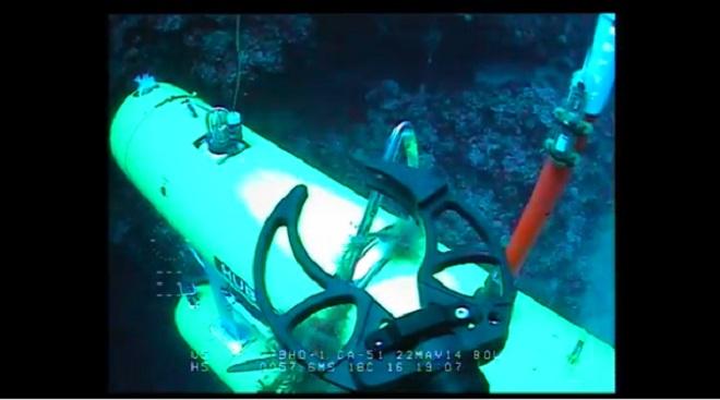
Autonomous Underwater Vehicle (AUV) from the Australian Centre for Field Robotics was used in September 2014 to produce very high resolution 3D digital maps of the Antikythera shipwreck. Woods Hole Oceanographic Institution (WHOI)
http://www.whoi.edu/
The Antikythera wreck is a shipwreck from the 2nd quarter of the 1st century BC. It was discovered by sponge divers off Point Glyphadia on the Greek island of Antikythera in 1900.
The wreck manifested numerous statues, coins and other artifacts dating back to the 4th century BC, as well as the severely corroded remnants of a device that is called the world's oldest known analog computer, the Antikythera mechanism.
Here’s an edited video, providing detailed insight into how Sirius, the underwater robot, aka. Autonomous Underwater Vehicle (AUV) from the Australian Centre for Field Robotics was used in September 2014 to produce very high resolution 3D digital maps of the Antikythera shipwreck.
This will provide a blueprint upon where all future finds and work will be plotted.
Enjoy!
The Antikythera Shipwreck (circa 60 B.C.) is the richest ancient wreck ever discovered. Greek sponge divers located the wreck by chance close inshore of Antikythera Island in 1900.
For more information visit
Return to Antikythera website.
If you want to link to this article then please use this URL: www.sail-world.com/127423