Predictwind- Tracking Cyclone Lusi Update 4- Storm swings south
by Richard Gladwell, Sail-World.com on 16 Mar 2014
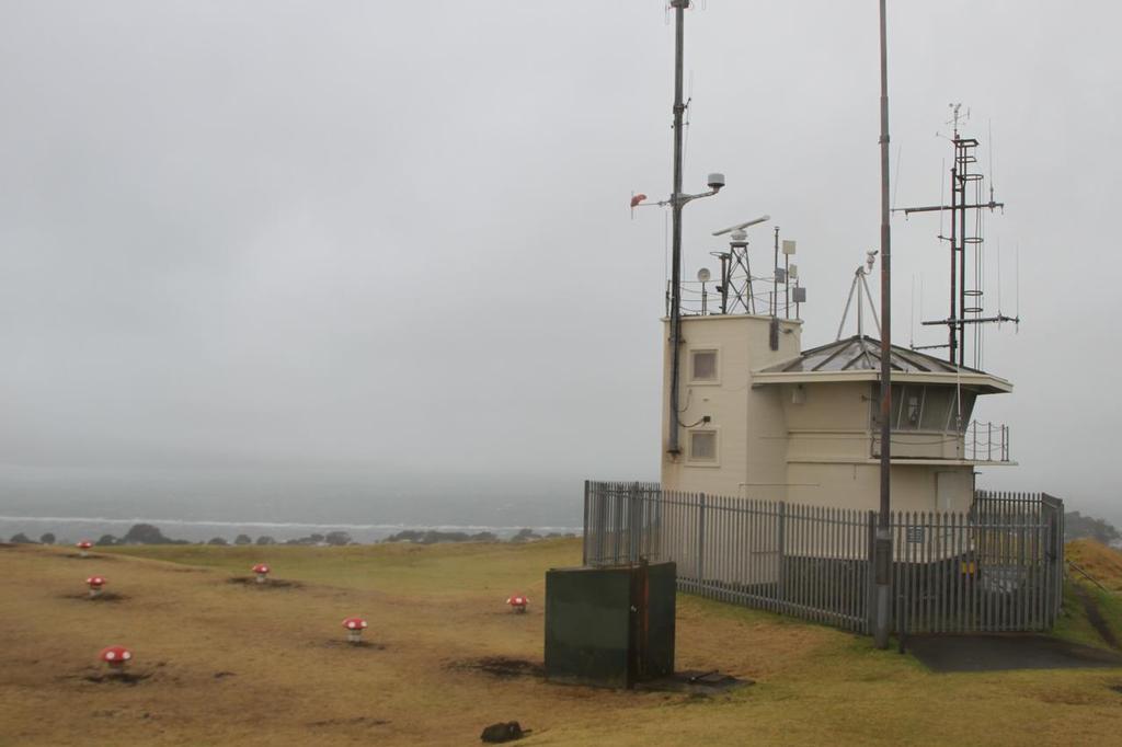
The Signal Station on Mt Victoria, Devonport looks out into the murk of Cyclone Lusi, Auckland, March 15, 2014 Richard Gladwell
www.photosport.co.nz
Tropical Cyclone Lusi hit New Zealand, on late Friday night bringing strong winds and rain to the top half of the North Island. As of Sunday morning the storm is moving south and losing intensity.
Winds gusting to 65kts were recorded at Tiritiri Island in the Hauraki Gulf late yesterday afternoon and over 50kts at Bean Rock at the entrance to the Waitemata harbour.
Now the winds have eased in Auckland, and swung north. The rain is also expected to clear by early Sunday afternoon.
Sail-World started tracking the storm at 2200hrs on Thursday night - see two earlier stories and maps. This latest update is at 1000hrs on Sunday. The times of the shots of the storm can be read alongside each image.
For the Wellington and Christchurch areas, Wellington will escape most of the effects but with some heavy rain forecast late Sunday night.
Christchurch will be harder hit with predictions varying, indicating the path of the storm and rain is unpredictable at present.
Winds are on the rise in Christchurch, but the rain is not really expected to hit until late Sunday afternoon.
By Monday morning the low pressure area will have disappeared off the bottom of the South island and is expected to dissipate.
[Sorry, this content could not be displayed]
[Sorry, this content could not be displayed]
The first three Isobar images show the progress and expected track of the low pressure area from the Pacific at 1000hrs on Sunday morning and through the rest of Sunday. the storm is gone by Monday.
Predictwind produces two weather predictions based on two independent feeds and then applies various adjustments to take account of a variety of factors including land mass and topography.
As can be seen above, Cyclone Lusi has stayed intact passing over the top of the North Island and will spin out into the Tasman Sea before coming back over the middle of the South Island. Predictwind does take account of topographical features when making its forecasts - which indicates the rainfall in the South Island will be as expected and will have taken the Southern Alps into consideration.
In this Forecast Table from Predictwind.com we are showing the Forecast at Bean Rock, Wellington and Christchurch.
The Forecast table is a composite of all the weather data - showing wind strength (average and gust) and direction from two international feeds enhanced by Predictwind to take account of local features and a number of other factors. For a fuller explanation of how PredictWind enhances its feeds to provide a detailed local forecast click here
Two wind feeds are shown, when the numbers for both are similar, the prognosis has a high degree of certainty, when there is disparity, there is more uncertainty about the forecast.
Also shown is the cloud cover (expressed in a % of cover) and expected rainfall.
The third graphic shows the real time weather observation points around the Auckland and Christchurch as well as Wellington., these points are used to track the actual wind strength and direction.
Actual readings from Auckland (Bean Rock) and Christchurch (Brighton Pier). The arrows on the map, show the wind direction and the colour indicates wind strength.
[Sorry, this content could not be displayed]
The fourth set of graphics shows the advance of the rain, which is clearing from Auckland, and is advancing on Christchurch and the South Island, with Wellington expected to escape the worst of the storm due to the fact that it swung out over the Tasman Sea, before coming back over NZ through the centre of the South Island.
This is expected to the last update, but Sail-World will continue to monitor the situation and will update if required.
Predictwind has a couple of great mobile phone apps for Android and iPhone – you can download these and track the storm and observations at your leisure. Dramatic weather events such as Cyclone Lusi are a great opportunity to learn the behavior of weather systems and to upskill your ability to develop your understanding of the weather and how it can affect you – so that you have peace of mind, or develop contingency plans.
Developed by former Olympian, Jon Bilger (470, 1992), PredictWind application was used by the Swiss team Alinghi to win the 2003 and 2007 America's Cups, and has become the leading wind system used by racing and recreational sailors around the world. It is available on a subscription basis and also with a free forecast option.
A mobile app for Android and iPhone is available and PredictWind is probably the most used app on the Sail-World iPhone.
You can check the weather anywhere in the world, and get a five day forecast, plus a variety of other features and functions of PredictWind. The app is synchronised with your PC, so that your latest set of locations are always available without resetting each time you change a device.
If you want to link to this article then please use this URL: www.sail-world.com/120148