Tropical Cyclone developing in Coral Sea
by Bureau of Meterology on 30 Apr 2013
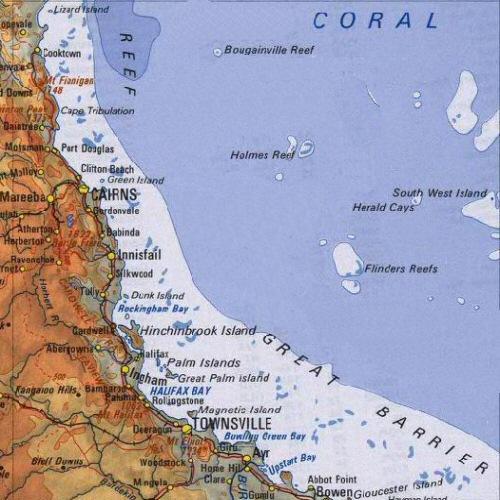
Tropical north queensland map - Tropical Cyclone developing in Coral Sea Bureau of Meterology
The Bureau of Meterology (BOM) says a tropical low pressure system off the far north Queensland coast is likely to develop into a cyclone sometime this (Tuesday) afternoon.
A cyclone watch is now in place for coastal communities from Cape Tribulation to Thursday Island and Mapoon, with strong gales expected tomorrow.
Senior BOM forecaster Amber Young advises the system is now around 660 kilometres north-east of Cooktown, north of Cairns, and moving at 17 kilometres an hour.
'Our forecasting has us potentially naming this system sometime this afternoon.'
Here is yesterday afternoon's BOM three day Cyclone outlook report
3-day outlook for The Coral Sea.
IDQ10810
Australian Government Bureau of Meteorology
Brisbane
Tropical Cyclone 3-day outlook for The Coral Sea
Issued at 2:49pm EST on Monday the 29th of April 2013 and valid until end of
Thursday
Potential Cyclones:
At 10am AEST Monday, a deepening tropical low was situated approximately 930
kilometres east-northeast of Cairns and 1,090 kilometres east of Lockhart River
and moving slowly in a west-southwest direction. The tropical low is expected to
continue to deepen while developing more of a westwards track as it approaches
the far northeast Queensland coast during Tuesday and Wednesday.
Likelihood of a tropical cyclone in the Eastern Region on:
Tuesday: High
Wednesday:High
Thursday: Low
NOTE: The likelihood is an estimate of the chance of each system being a
tropical cyclone in the Region for each day.
Very low: less than 5% Low: 5% - 20%,
Moderate: 20% - 50% High: Over 50%
The area of coverage for this outlook is the Coral Sea and northern Tasman Sea
west of 160E.
An updated report will be available this morning.
If you want to link to this article then please use this URL: www.sail-world.com/108999