Weather Day 5 Meridien Marinas Airlie Beach series
by Kenn Batt on 15 Aug 2007
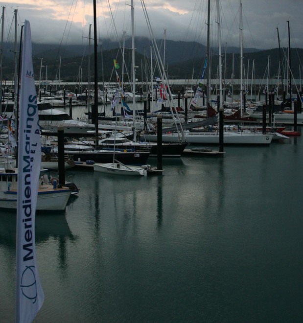
Day 5 dawn Sail-World.com /AUS
http://www.sail-world.com
Weather Forecast issued by Kenn Batt at 0600hr for Wednesday 15th August 2007 for Day 5 of the 2007 Meridien Airlie Beach Race Week, courtesy of North Sails
Yesterday: Around start time wind was 130-120 deg at around 9kn. This tended 110 deg and even got around to 95 deg for a bit during the early afternoon.
Speed increased to peak at around 15kn. It went a bit more left earlier than predicted. This was due to the combination of the ridge of high pressure over the area and the sea breeze effect.
Synoptic Discussion: At the surface level a firm ridge of high pressure covers the race area. This ridge extends from a 1038hPa high centred to the SE of Tasmania. The ridge is expected to strengthen more over the next couple of days. The surface low pressure which was off the NSW coast yesterday has moved east and is well into the Tasman Sea. The trade wind surge arrived last night and brought some light shower activity with it.
Observations: At 0600hr, the weather radar was showing weak shower activity over the area. Surface winds over Airlie Beach area were out of the 210deg averaging around 10kn. This was indicative of a combination land breeze/synoptic flow. At Hamilton Island the automatic weather station was showing a wind from 160 degT at 15kn gusting 18kn, temp 19deg and pressure was 1016.8hPa.
Forecast Discussion:
The ridge is expected to strengthen more during today. This will keep firm Trade wind S to SE’lies over the race area. There is a chance of a shower or two. Remember that showers can be accompanied by gusty winds ahead of and as they move through will briefly take the direction more left (up to 90deg) of the ambient wind. It will feel cooler out there today so take some warm clothes.
Forecast confidence level: Above average.
Natural oscillations today around 10 to 15 deg away from effects of topography, tending around 20 to 50 deg closer to the effects of any land mass. Up to 90deg in any showers.
Weather
Cloudy at times with the chance of a shower or two, more so around the Islands.
Maximum land temperature at Airlie Beach: 22 degrees Sea Temp: about 20-21 degrees.
Wind Waves: 0.5 to 1.8 metre. Less in lee of land. More when wind opposes tidal current. (Wave heights quoted are Significant wave heights).
Current: Tidal flow rate is looking a little less than yesterday.
Tide floods to the south and ebbs to the north in the Whitsundays.
Tide (Shute Harbour): Low 0609 0.71m High 1208hr 2.63m Low 1748hr 0.69m
Forecast Winds for middle of Pioneer Bay
0900: 150deg (160-140) 12kn (10-15)kn
1100: 140deg (150-130) 14kn (12-17)
1300: 130deg (140-120) 15kn (12-18)
1500: 130deg (140-120) 16kn (13-20)
1700: 140deg (150-130) 15kn (13-18)
1st group=mean dir T 2nd =dir range T 3rd =mean speed 4th=speed range
Wind is expected to be about 10 to 15deg more right than above closer to land. Winds about 3-5 kn stronger at times around offshore islands and also a little more right in Whitsunday Channel area. Funnelling out of bays and around headlands can also produce 3-8kn stronger winds than forecast above.
Note: Wind gusts could be briefly stronger than forecast above in showers.
Hedge:
1. Direction could stay around 150deg for your racing today.
2. Wind speed could be about 2kn stronger this afternoon.
Outlook
Thursday: Mostly dry. SE winds 14 to 18 knots.
Friday: Mostly dry. SE winds 14 to 18 knots.
If you want to link to this article then please use this URL: www.sail-world.com/36623