Meridien Airlie Beach Race Week Weather
by Kenn Batt on 16 Aug 2007
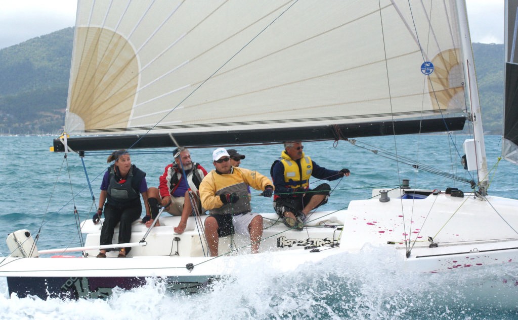
Too Hot To Trot - Day 5 Sports Boats Sail-World.com /AUS
http://www.sail-world.com
Weather Forecast issued by Kenn Batt at 0600hr for Thursday 16th August 2007
Yesterday: Ah the good old Trade Winds are back! Wind was mostly out of 140deg- maximum left was around 120deg and max right was 160deg. Speed started off at 10kn and increased to peak at around 20kn at midday. The early showers greatly modified the wind field locally with pressure up and down and some short term direction flicks (erratic) being experienced.
Synoptic Discussion: At the surface level a very firm ridge of high pressure covers the race area. This ridge extends from a 1040hPa high centred near New Zealand. This ride is expected to stay anchored up this way for a few days yet with a new high centre expected to form in the Tasman Sea at around 30S during today. This will take over the reins from the NZ high and control the ridge up this way for a while.
A cold front is expected to move through the southern states over the next day or so. This is expected to have a very minimal effect on Paradise.
Observations: At 0600hr, the weather radar was showing shower activity over the Whitsunday area. Surface winds over Airlie Beach area were out 200deg averaging around 8-10kn. This was indicative of a combination land breeze/synoptic flow. At Hamilton Island the automatic weather station was showing a wind from 100 degT at 9kn gusting 13kn (shower affected), temp 19deg and pressure was 1018.6hPa. 14mm of rain has fallen in the hour.
Forecast Discussion: The very firm ridge is expected to keep the good old Trade wind over the race area again today. Showers (The Whitsunday Shower) should again this morning. And linger into the early afternoon before ceasing and returning tonight. These showers (as you would have discovered yesterday) will have quite a dramatic short term effect on the local winds- gusty winds ahead of- not much in and just behind the shower- after a while the ambient wind returns.
The directional changes can be up to 90deg- generally left (but it can depend on which side of the shower cloud cell you are) of the ambient wind. If you can work these shower clouds well they can help make you a winner.
Forecast confidence level: Above average.
Natural oscillations today around 10 to 15 deg away from effects of topography, tending around 20 to 50 deg closer to the effects of any land mass. Up to 90deg in showers.
Weather: Cloudy with the some showers, more so this morning and again this evening. Wear warm clothes and don’t forget your wet weather gear!
Maximum land temperature at Airlie Beach: 22 degrees Sea Temp: about 20-21 degrees.
Wind Waves: 0.5 to 1.8 metre. Less in lee of land. More when wind opposes tidal current. (Wave heights quoted are Significant wave heights).
Current: Tidal flow rate is looking about the same as yesterday.
Tide floods to the south and ebbs to the north in the Whitsundays.
Tide (Shute Harbour): Low 0637 0.77m High 1242hr 2.59m Low 1823hr 0.92m
Forecast Winds for middle of Pioneer Bay
0900: 150deg (160-140) 12kn (10-15)kn Shower affected race couse
1100: 140deg (150-130) 16kn (13-19) Shower affected race couse
1300: 130deg (140-120) 18kn (15-22) Less shower affected race couse
1500: 120deg (130-110) 18kn (15-22)
1700: 130deg (140-120) 16kn (13-19)
1st group=mean dir T 2nd =dir range T 3rd =mean speed 4th=speed range
Wind is expected to be about 10 to 15deg more right than above closer to land and in Whitsunday/Molle Channels. Winds about 3-5 kn stronger at times around offshore islands and also in the Whitsunday Channel area. Funnelling out of bays and around headlands can also produce 3-8kn stronger winds than forecast above.
Note: Wind gusts could be briefly stronger than forecast above in showers and direction very erratic.
Hedge:
1. Wind speed could be about 2kn stronger at times this afternoon.
2. Could see 090deg maximum left at times this afternoon.
Outlook
Friday: Cloudy with showers, tending to rain at times. SE winds 15 to 20 knots.
Saturday: Cloudy with some showers. SE winds 15 to 20 knots
If you want to link to this article then please use this URL: www.sail-world.com/36656