Chicago Mackinac 2012 - Thunderstorms forecast for Sunday night
by Sail-World.com on 21 Jul 2012
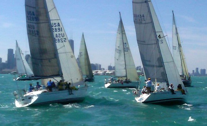
2012 Race to Mackinac cruising start Chicago Yacht Club
http://www.chicagoyachtclub.org
As of 3:10 p.m. Friday, the cruising division set sail for the 2012 Chicago Yacht Club (CYC) Race to Mackinac presented by Veuve Clicquot. Forty-two cruising boats began the race under sunny skies and north-northeast breeze at 13-15 knots, with gusts to 17. Today the giant racing fleet heads north in the 104th race.
Wining back the clock The pre-race weather forecast for the 2011 Chicago Yacht Club's Race to Mackinac told of thunderstorms. What the fleet experience was a set savage thunderstorm cells with strong winds blasting the fleet in the 60-90 knot range.
Below is the 2012 forecast and once again meterologist Chris Bedford has forecast thunderstorms for the same period, although at this stage there is no expectation that they will be nearly as severe as in 2011.
Here are the details..
'High pressure will be moving south and east of Lake Michigan on Saturday morning. A weak SW'ly flow is forecast to develop across most of the ...lake at first, but local SE'ly lake breezes are expected to develop along the IL and WI shores during Saturday afternoon.
Overnight Saturday and into Sunday, the high pressure moves further east and the SW flow returns overnight Saturday and into Sunday. This SW'ly wind will build with time and could provide a relatively quickly running breeze of fresh
15-20 knot winds on Sunday over the northern two-thirds of the lake.
We are watching a low pressure which is expected to move east across Ontario north of Lake Superior on Sunday, with a trailing cold front likely to move south-southeast across Superior and into northern Lake Michigan sometime on Sunday or Monday.
There is considerable uncertainty on the timing of this important weather feature. The front is expected to shift winds from moderate/fresh SW'lies to a moderate N or possible NE winds as it moves south across the Straits and northern Lake Michigan.
Timing on this front moving into the race area ranges from as early as mid-day Sunday to as late as Monday morning. With such a wide disparity in the forecast models, this front is developing as the key weather feature to watch for the race.
Weather-wise, the start and first 24 hours of the race look benign.
Increasing risks of showers and thunderstorms will be encountered over the northern half of third of the lake, especially Sunday afternoon through Monday. The details on this action await further confidence in the forecast regarding the movement of the front south out of upper MI and into the lake Sunday/Monday.'
If you want to link to this article then please use this URL: www.sail-world.com/99964