The biggest question when going to sea - Where am I?
by Lee Mylchreest on 23 Sep 2013
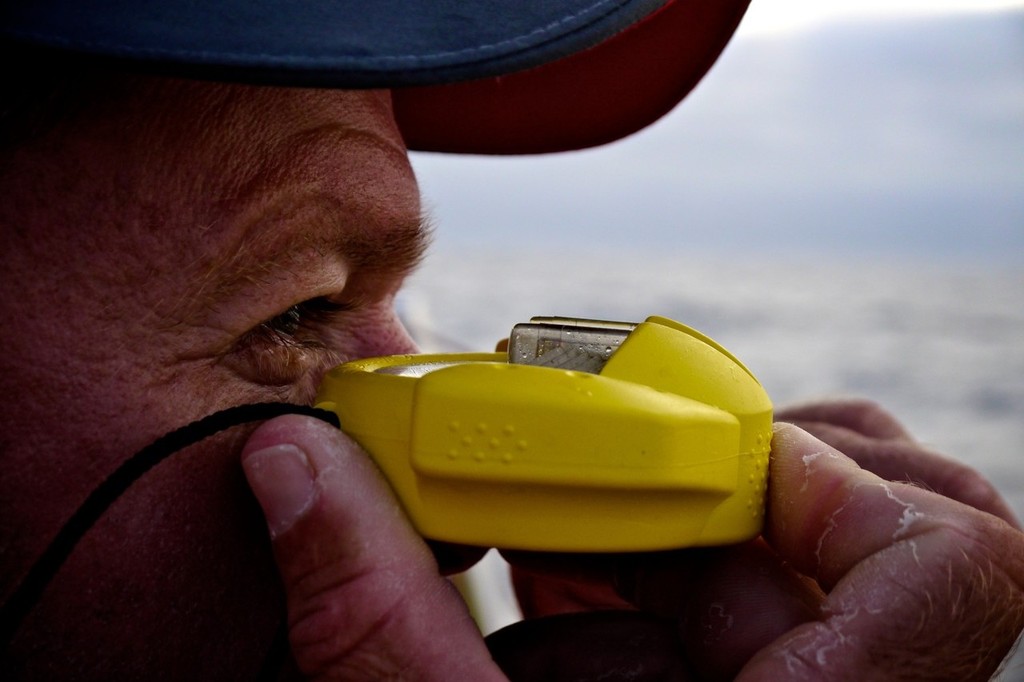
Using every mode available to establish and reconfirm your position (Credit: Hamish Hooper/CAMPER ETNZ/Volvo Ocean Race) Hamish Hooper/Camper ETNZ/Volvo Ocean Race
Before technology surfaced, early mariners, over the centuries, devised many crude solutions to determine where they were in the water. The death of a friend recently on a reef in the Tuomotos, through a small miscalculation, has had me ruminating on how seafarers stayed safe over the thousands of years they have been transiting the ocean.
The Compass:
The earliest compasses were most likely invented by the Chinese in around 1050 BCE. Intriguingly, they were created first for the purposes of spiritual life or developing a feng shui environment and then only later used for navigation.
Compasses were originally developed when lodestones, a mineral that has naturally magnetized iron ore, were suspended above a board with the ability to pivot and turn. It was discovered that the stones would always point in the same direction, and align themselves with the north/south axis of the earth.
Then crude charts were drawn. The forerunner of the modern magnetic compass consisted of a magnetized needle placed in a piece of cork, which floated in a pan of water. The marked end of the needle pointed to magnetic north. This primitive form of a compass went through many changes prior to the development of the modern day instrument.
The superiority of modern equipment - with caveats:
Today it is much easier to find out where we are on earth. As well as GPS, we now have depth recorders and other electronic devices supposedly answering the question, 'Where are we?'
However, total trust in the GPS can end in tragedy on the sea - and often has. There are a number of reasons for this:
1. The GPS position being 'wrong' when related to the (correct) chart it is shown on
2. Inaccurate reading of the GPS by the skipper
3. A lightning strike destroying all metal equipment on the boat
4. Inaccurate out-of-date charting, particularly in remote areas
Back-ups - the paper chart:
When navigating large bodies of water, there is no substitute for having a paper chart readily available. Even with advanced technology, it's an excellent idea to keep track of your boat's position on paper as a back-up to your electronic equipment's information or as a starting point for doing without it when it fails.
Dead Reckoning:
The advancement of the boat's position on the chart from the last accurate position using courses steered and speed through the water is known as dead reckoning. A dead reckoning track line is drawn on the chart from a known position to your destination. To plot the direction your boat is headed on the course line, many types of course plotters may be used to determine the direction of travel by a compass rose on the chart.
With the boat's known speed and time traveled, you can plot your position on the course line -- usually hourly.
In the final analysis, it is the intelligent use of all the systems available to the seafarer which denotes good seamanship and it likely to bring the skipper and crew home safely, rather than the sophistication of the equipment available.
If you want to link to this article then please use this URL: www.sail-world.com/114878