More on Do It Yourself charts from Google Earth
by Nancy Knudsen on 15 Jan 2012
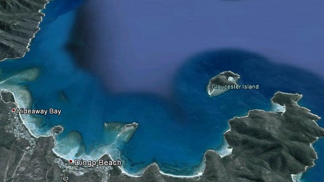
Google Earth CAN give you accurate charts SW
In November we published an http://www.sail-world.com/index_d.cfm?nid=91281!article_by_Paul_Higgins, showing cruisers how to create your own charts from Google Earth, meaning that there should be no inaccuracies as there are with 'normal' charts. If that didn't do it for you, we now offer another method, provided by long-term cruisers Eric and Sherrell on Sarana.
The value of having totally reliable charts cannot be underestimated, as many a cruiser will tell you who has found themselves anchored on a sandbank (according to the chart.)
Eric and Sherrell have been cruising since 1996 on Sarana, a Mariah 31. They are both ex-corporate types who feel now that they never really fit in well, but they admit they were at one time very dedicated to the corporate cause.
They say, 'We love to travel and we have been all over the world the fast way, now we are going to see everything at 6mph.'
Now Eric writes the following for http://groups.yahoo.com/group/Cruisers_Network_Online/!Cruisers_Network_online:
For those of you who have been frustrated by inaccurate charts that place islands and coastlines miles off their GPS positions and would like to use Google Earth's images in your chart plotter for higher accuracy, I've written a procedure that will help you import them as a BSB/KAP image. Not only can you create your own charts, but the procedure works for any PNG/TIFF/BMP type image that you might want to make into a chart. So now you can use a free chart plotter tool like OpenCPN and make your own charts.
This procedure should work on both Linux and Windows systems easily. In addition Mac users should be able to slightly modify the instructions and be able to make charts as well.
Please see the following link for more details http://www.sailsarana.com/make_charts_from_google_earth.php
Comments and feed back are welcome on the website.
Yet Eric and Sherrell are not just pretty faces of cruising and authors of handy instructions. If you ever find yourself in Central America, take a look at their guide books for the Pacific Coast of Central America:
http://www.sailsarana.com/guides
AND they also have several free guide books too that might interest you, http://www.sailsarana.com/free_guides.php covering Pacific Colombia and other far-flung places.
If you want to link to this article then please use this URL: www.sail-world.com/92880