Meridien Marinas Airlie Beach Race Week 2010 - Weather Day 5
by Kenn Batt on 19 Aug 2010
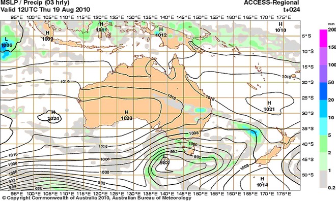
MSLP Precip Day 5 - - 2010 Meridien Marinas Airlie Beach Race Week - Final Day Bureau of Meteorology
http://www.bom.gov.au
Meridien Marinas Airlie Beach Race Week 2010 - Weather Day 5 provided by BOM meterologist Kenn Batt
Nil Warnings current.
Synoptic Discussion
A ridge of high pressure lies over the area. A trough of low pressure lies over western Qld.
It could be a little trickier today and the movement of the gradient wind will hold the key? Read more about it below under Discussion.
Latest analysis Forecast chart for 2200hr tonight
Observations:
At 0600hr: Hamilton Island was 180deg at 09kn (temp 21C, pressure 1018hPa).
Forecast Winds for Middle of Pioneer Bay (Read Discussion below)
1000:MD140 DR(160-120) MS08 SR05-12kn
1200:MD110 DR(140-090) MS08 SR05-13kn
1400:MD080 DR(110-060) MS09 SR06-14kn
1600:MD080 DR(100-050) MS09 SR04-12kn
Note : First column is mean wind direction in deg Magnetic (MD). It is the 10min average (mean) value at a height of 10m above the water leading up to the hour quoted. The second column is the directional range (DR) of the wind direction in deg Mag. This takes into account the natural oscillation of the wind and is a function of the atmospheric stability, etc. The third column is the mean speed (MS) in knots (kn) and is the average 10min value leading up to the hour quoted at a height of 10m above the water. The last column is the wind speed range (SR) in knots and is the lowest wind speed to highest wind speed in the 10min leading up to forecast hour.
Discussion
A ridge of high pressure persists along the Q’ld today. The gradient wind is expected to stay a 10kn NE’er today.
Further offshore in the Whitsunday Passage and Molle Channel area, the wind direction is expected to be 10-50deg more right than forecast above for Pioneer Bay and the speed is expected to be 3kn stronger due to topographic forcing.
There is the chance however that the gradient could slide further left to say 320deg during the afternoon? If this happens then the surface wind could tend left to around 340-020degs at 5-10kn, particularly offshore and in the Whitsundays??
Wind will be lighter in the lee of any landmass and stronger between islands (in channels and passages), out of some bays and around some headlands.
Natural oscillations today around 15 to 30 deg away from effects of topography, tending around 30 to 50 deg closer to the effects of any land mass.
Any shower activity could see surface winds a little gusty and erratic in or close to the shower cells.
Weather
Early low cloud and drizzle patches clearing to a cloudy at times with the chance of a shower or two chiefly this afternoon.
Maximum land temperature at Airlie Beach: 26 degrees.
Sea Temperature: 21-22 degrees.
Wind Waves:
0.4 to 0.8metres, less in lee of land, more when wind wave opposes tidal current.
(Wave heights quoted are significant wave heights).
Current: A moderate ebb this morning, followed by a moderate flood this afternoon. Be very careful particularly in the passages, channels, close to islands, etc.
Remember: Tide floods to the south and ebbs to the north in the Whitsundays.
Tide at Shute Harbour: High of 1.45m at 0509hr, Low of 0.58m at 1104hr, High of 2.09m at 1805hr
If you want to link to this article then please use this URL: www.sail-world.com/73519