Chicago Mackinac - Latest Weather update
by Race to Mackinac - event media on 17 Jul 2011
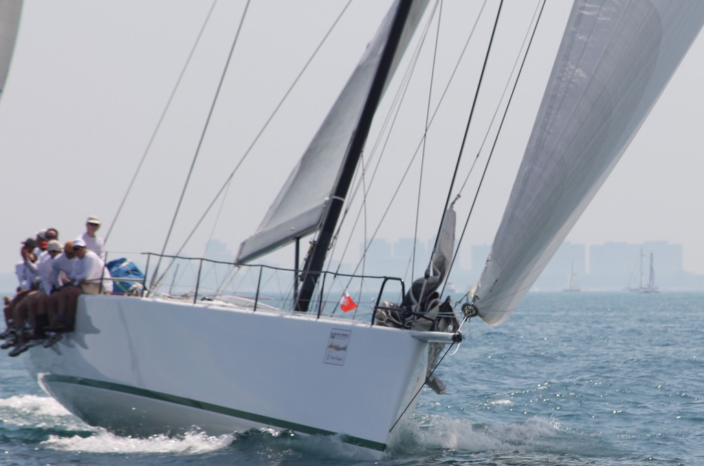
Equation STP65 racing in the 103rd Chicago Yacht Club Race to Mackinac presented by Veuve Clicquot Event Media
Race Weather update from the Chicago Yacht Club's Race to Mackinac presented by Veuve Clicquot. Weather expect Chris Bedford has provided this commentary.
'Things are playing out about as predicted on the lake so far. The lake breeze shut down last evening at the shores but was not replaced by any land breeze. The cooler lake and extreme heat wave building in the mid-west this year is significantly limiting land breezes. However the middle of the lake managed to get some S'ly gradient overnight and that has kept racing fleet moving north.
Out prediction of a 'rich getting richer' scenario seems to be playing out...for now. The Turbo boats were advantaged by a later start in a stronger lake breeze which allowed them to catch and pass the slower boats which started earlier in a very light and patchy lake breeze. Now that they are gaining northerly latitude, they are moving into more pressure and have seen the S'ly gradient increase and taken that to a growing advantage.
Some Recent wind reports from around the lake confirm more breeze in the center of the lake and on the MI shore:
North Lake Michigan Buoy - SSW at 10 gust 12 kts Big Sable Point, MI - SSE 8 gust 11 kts Kewaunee, WI - S at 2 kts Port Washington, WI - SW at 4 gust 6 kts
Forecasts are getting more and more bullish for a building running breeze to develop on the lake today. The build may happen even quicker than previously thought. There is a reasonable chance of winds solid
15-20 over much of the lake north of Big Sable any time after noon today. We could even here of that much breeze from some of the mid-lake leaders this morning.
For tonight, things are likely to get more 'interesting'. All eyes are on a cold front lying across the northern Plains and into southwestern Ontario. That front is expected to start drifting south and may become the focal point of some strong thunderstorms developing over northern MN / southwest Ontario later today and tonight.
These storms would track southeast, moving across northern WI and the Michigan U.P. into the northern lake as early as mid-night, but probably a few hours later. If the cells develop, the wind in the northern lake will become quite variable with some strong gusts of outflow breeze possible. In addition, wind direction will shift around to flow directly out of any approaching thunderstorm cells. As the cell pass, wind direction could shift almost anywhere on the compass.
There is a chance that some of these storms could be severe with wind gusts over 40 knots, frequent lightning, heavy rain and possibly hail.
Competitors should monitor NOAA broadcasts on their VHF for the latest official advisories and warnings.
The front drops south of the straits and across northern Lake Michigan during the day tomorrow. That will shift winds to N/NE from Mackinac to the Manitou Islands. These N/NE winds are expected to be relatively light, and will slow the finishing process Monday into Tuesday.
If you want to link to this article then please use this URL: www.sail-world.com/86048